

Agri Technology
ICRISAT Develops High-Resolution Map to Distinguish Irrigated and Rainfed Croplands Across India
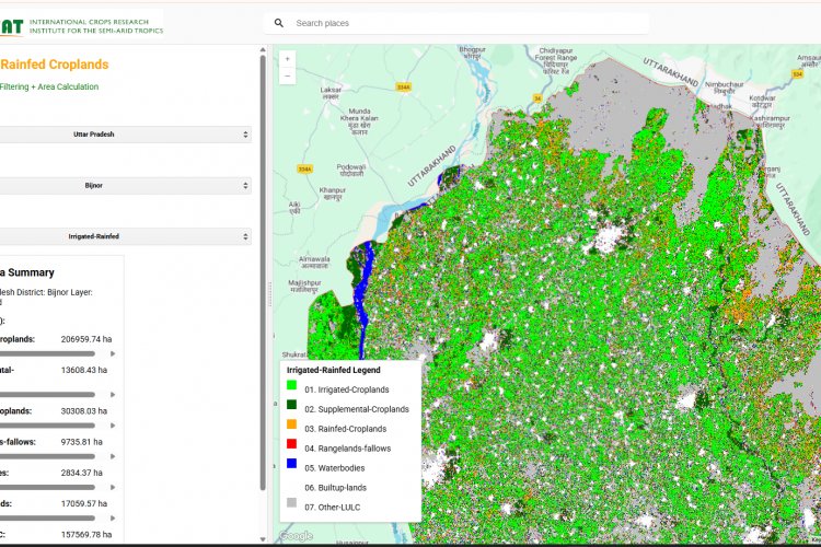
A team of researchers at ICRISAT has produced a 10-meter irrigated and rainfed cropland map of India for 2024–25, using dense Sentinel-2 time-series data, field observations and seasonal behaviour analysis.
15 Dec 2025 · 360 News Admin
360 News
A team of researchers at ICRISAT has produced a 10-meter irrigated and rainfed cropland map of India for 2024–25, using dense Sentinel-2 time-series data, field observations and seasonal behaviour analysis.